Around the Schrattenfluh


- 5:00 h
- 52.13 km
- 1,745 m
- 1,745 m
- 882 m
- 1,527 m
- 645 m
- Start: Sörenberg, Post Office
- Destination: Sörenberg, Post Office
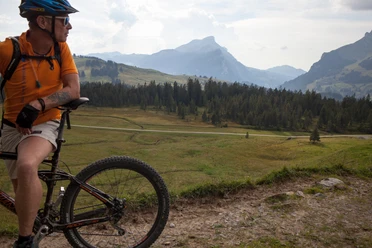
This unique but challenging route starts in Sörenberg. Head towards Flühli via Birkenhof - Junkholz. In Flühli, the first ascent is on an alpine road towards the Hilfern Pass. However, this first effort is immediately rewarded with a unique view of the impressive Schrattenfluh. The route continues towards the waterfall to Hürnli and then past the Imbrig Alp (be sure to stop and try the delicious alp cheese) to Unter Lochsitli.
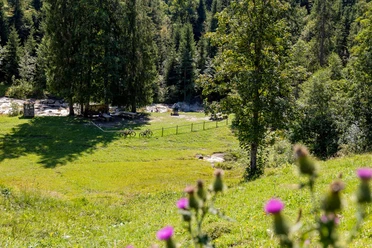
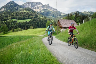
Continue via Bumbach to Kemmeriboden, where the ascent begins again. Via Schönisei - Schneeberg you head towards Salwideli, where the beautiful moorlands bloom with colorful orchids. Via Südelhöchi you descend again to Sörenberg.
Great insights into this bike tour can be found in the blog post Mountain biking around the Schrattenfluh.

Waypoints
Good to know
Best to visit
Directions
Tour information
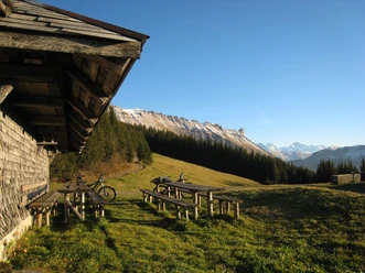
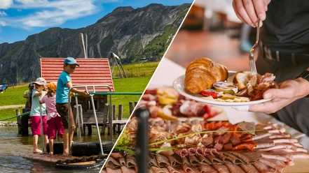
Stop at an Inn
Equipment
Directions & Parking facilities
The UNESCO Biosphere Entlebuch is located in the heart of Switzerland, centrally between Bern and Lucerne. You can reach Sörenberg via the main road 10 in the direction of Schüpfheim and from there to Flühli Sörenberg. From Giswil take the Panoramastrasse / Glaubenbielenpass to Sörenberg.
Plan your route with the help of the Google route planner.
A paid parking lot is available at the Ochsenweid.
You can reach Sörenberg by public transport via Schüpfheim (Bern-Lucerne railroad line). From Schüpfheim, take the Postbus to Sörenberg "Camping".
Plan your journey with the SBB online timetable.
Additional information
Biosphere Center
Chlosterbüel 28
CH-6170 Schüpfheim
Tel. +41 41 485 88 50
www.biosphaere.ch
Literature
You can find the "Bike-Guide" brochure in the brochure store at www.biosphaere.ch/broschueren
Author
UNESCO Biosphäre Entlebuch
Organization
UNESCO Biosphäre Entlebuch
License (master data)
UNESCO Biosphäre Entlebuch

Author´s Tip / Recommendation of the author
Safety guidelines
- Footpath Birkenhof - Junkholz approx. 150 m
- Do not miss the Hilferehüttli turn-off (adjust your downhill speed!)
- Steep passage between Steiwang and Imbrig
Wear the correct protective equipment, assess your ability correctly, give way to hikers, stay on the trail and close pasture fences! Follow the Central Switzerland Bike Code - that way you'll stay safe on your mountain bike!
Nearby


