Holzwegen - Napf


- 1:45 h
- 5.09 km
- 364 m
- 45 m
- 1,085 m
- 1,404 m
- 319 m
- Start: Holzwegen
- Destination: Napf
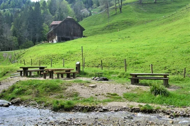
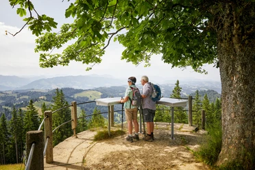
At Holzwegen, the path first follows a forest road and then a narrow hiking trail through the forest. There are always beautiful views to the south towards the Alps and to the north into the Swiss Plateau. First past Unterenzi and then Oberenzi, the landscape becomes more "alpine" and soon we see the goat alp Stächelegg, northwest of which the Hengst rises and deep below lies the legendary Änziloch. Now it's not far to the summit with the distinctive triangulation point and the Berghotel Napf.

Waypoints
Good to know
Pavements
Best to visit
Directions
Holzwegen - Goldsite - Änzi - Stächelegg - Napf
Tour information
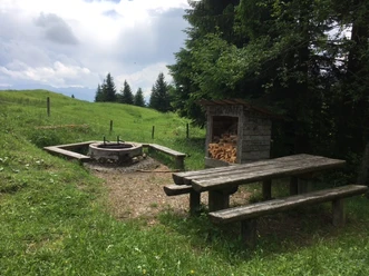
Stop at an Inn
Summit
Equipment
- Clothing appropriate to the weather
- Good footwear
- Hiking poles are recommended
- Camera
- Daypack
Directions & Parking facilities
Author
Willisau Tourismus
Organization
Willisau Tourismus
License (master data)
Willisau Tourismus

Author´s Tip / Recommendation of the author
From the Napf, paths lead back to the lowlands in all directions.
How is the weather? Here you can find the webcams.
Map
Nearby