Winter hike to the valley station of the Brienzer Rothorn cable car


- 0:56 h
- 3.19 km
- 89 m
- 1,154 m
- 1,243 m
- 89 m
- Start: Village
- Destination: Valley station of the Brienzer Rothorn cable car
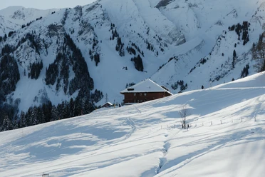
From the village center of Sörenberg, the path leads past the valley station of the Rossweid gondola along the Waldemme towards Schönenboden. Always in view towers the majestic Brienzer Rothorn, while the impressive winter sports area unfolds. You pass the ski kindergarten, where the smallest ski acrobats learn their first turns in the snow. Over Sörenberg Square it continues along the Waldemme and the village trails. Here you can watch the winter sports enthusiasts cross-country skiing – a true show of elegance and skill.
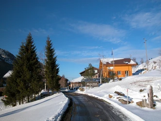
Just before Habchegg, you cross the street and enter the enchanting forest, which leads you toward Bödili. At Bödili, walk a few meters along the main road to the valley station of the Brienzer Rothorn cable car. At the destination at the valley station, there is the option to take the return route via Witmoos or to take the sport bus back to the village.
Why not make a detour to the highest mountain in Lucerne? The Brienzer Rothorn, at 2350 m above sea level, is the highest peak in the canton and impresses with a view of 693 mountain peaks and a 360-degree panorama. In winter, pedestrians ride to the Rothorn and back for only 15 francs, more info.
Waypoints
Good to know
Best to visit
Directions
Tour information
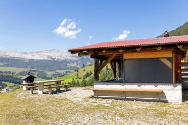
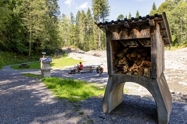
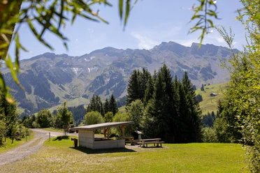
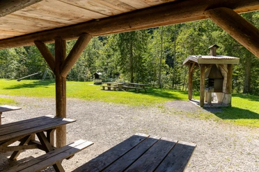
Stop at an Inn
Equipment
Good, stable, water- and cold-resistant shoes as well as poles for the necessary stability in the snow are recommended.
Directions & Parking facilities
The UNESCO Entlebuch Biosphere is located in the heart of Switzerland, centrally between Bern and Lucerne. You can reach Sörenberg via main road 10 towards Schüpfheim and from there to Flühli Sörenberg.
Attention, the Glaubenbielen Pass (Sörenberg - Giswil) is closed in winter!
You can reach Sörenberg by public transport via Schüpfheim (Bern-Lucerne railway line). From Schüpfheim, take the post bus to Sörenberg "Post".
Plan your trip with the SBB Online Timetable.
Additional information
Sörenberg Flühli Tourism
Rothornstrasse 21
CH-6174 Sörenberg
Phone +41 (0)41 488 11 85
[email protected]
www.soerenberg.ch
Literature
Winter hiking brochure - hiking suggestions in the UNESCO Entlebuch Biosphere can be downloaded or ordered here.
Author
UNESCO Biosphäre Entlebuch
Organization
UNESCO Biosphäre Entlebuch
License (master data)
UNESCO Biosphäre Entlebuch

Author´s Tip / Recommendation of the author
Take a trip to the highest mountain in Lucerne, the Brienzer Rothorn. Pedestrians pay only 15 francs during the winter season!
Safety guidelines
Please note the following points on the winter hiking trails:
- Stay on the marked routes
- Avoid the cross-country ski trail if possible. If not possible, walk in single file and do not step into the tracks.
- Plan enough time and monitor the weather
- Behave quietly, so there is even a chance to see wild animals; observe the animals from a respectful distance
- Your dogs are also allowed to do winter sports with us, but must be kept on a leash
- Take your waste home with your beautiful memories.
If people enjoying nature sports respect the space of wild animals, fewer bans and restrictions are needed and the natural landscape remains open for genuine nature experiences. We ask for careful consideration and thank you!
Nearby


