Emmenuferweg


- 18:00 h
- 65.87 km
- 233 m
- 2,100 m
- 434 m
- 2,328 m
- 1,894 m
- Start: Emmensprung, Sörenberg
- Destination: Train station, Emmenbrücke
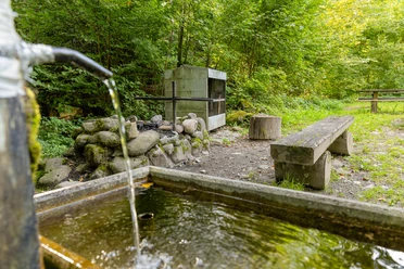
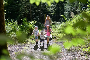
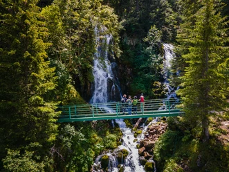
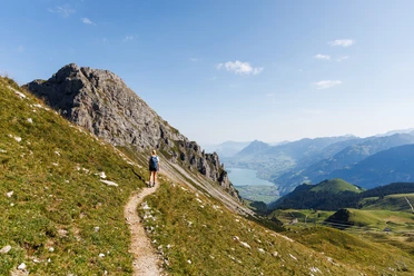
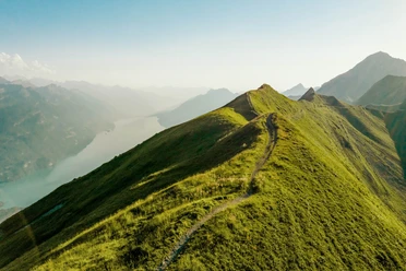
On the Emmenuferweg between Brienzer Rothorn and Emmenbrücke, you immerse yourself in the unique natural and cultural landscape of the UNESCO Biosphere Entlebuch. Along the river course of the Waldemme and the Kleine Emme, spectacular natural sights line up. From the bubbling Emmensprung, you encounter floodplain landscapes, bays with sunny gravel banks, protected moor biotopes, and wild gorges. The biodiversity of the biosphere area is unique. In the wet meadows and moors, you can observe dragonflies and discover rare plants like orchids.
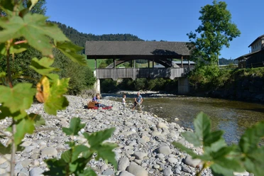
From the source of the Waldemme at the Brienzer Rothorn, you follow the path of the water, which flows slowly or rushing through the river landscape shaped over centuries. With every new meter, the sound of the branched streams and the river sounds a little different than before. Crossing covered wooden bridges, you walk through the open river valley between scattered settlements, past historic buildings to the industrial facilities at the gates of the city of Lucerne.
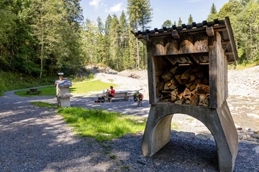
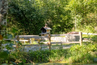
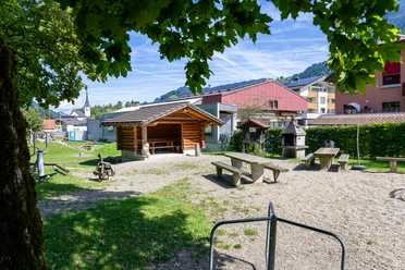
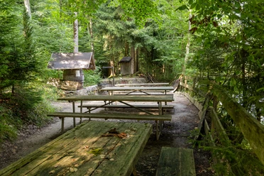
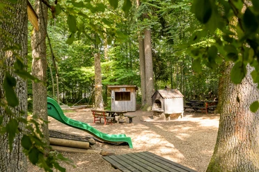
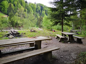
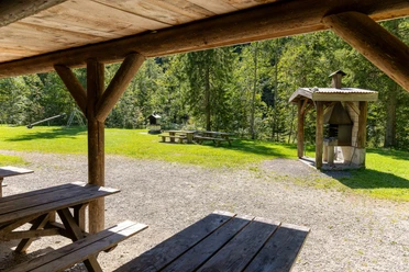
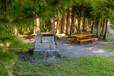
The four daily stages of the Emmenuferweg can also be hiked individually and shortened as desired thanks to the good connection to public transport. While the first two stages along the Waldemme offer slightly more elevation, stages two and three run mostly on flat terrain. With cozy bathing bays, playgrounds, and barbecue areas, these are a wonderful destination for families.
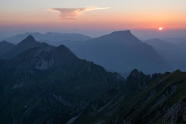
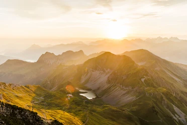
Stage 1: Brienzer Rothorn - Sörenberg
Stage 2: Sörenberg - Schüpfheim

Waypoints
Good to know
Pavements
Best to visit
Directions
The entire route is signposted with the signposts „83 Emmenuferweg“.
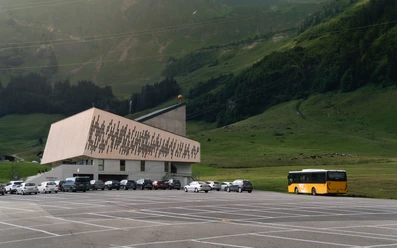
The path runs directly at all BLS stations on the Lucerne-Schüpfheim line. This thus offers welcome opportunities to walk any sections individually.
Tour information
Nature Highlight
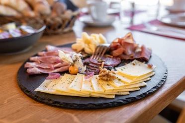
Stop at an Inn
Equipment
Good footwear, a rain jacket & sufficient drinking water for the way are part of every hike.
More tips for safe hiking, information on suckler cow herds and livestock guardian dogs, and much more can be found on the website of Swiss Hiking Trails.
Directions & Parking facilities
The UNESCO Biosphere Entlebuch is located in the heart of Switzerland, centrally between Bern and Lucerne. By car, you can reach various stages via main road 10.
Plan your route using the Google route planner.
There are several free and paid parking spaces along the Emmenuferweg.
You can reach various stages by public transport via the Bern-Lucerne railway line.
Plan your trip with the SBB online timetable.
Additional information
Biosphere Center
Chlosterbüel 28
CH-6170 Schüpfheim
Phone +41 (0)41 485 42 50
www.biosphaere.ch
Author
UNESCO Biosphäre Entlebuch
Organization
UNESCO Biosphäre Entlebuch
License (master data)
UNESCO Biosphäre Entlebuch

Our recommendations
Nearby