Emmenuferweg Stage 2: Schüpfheim-Wolhusen


- 4:30 h
- 16.85 km
- 45 m
- 197 m
- 565 m
- 717 m
- 152 m
- Start: Schüpfheim Train Station
- Destination: Wolhusen Train Station
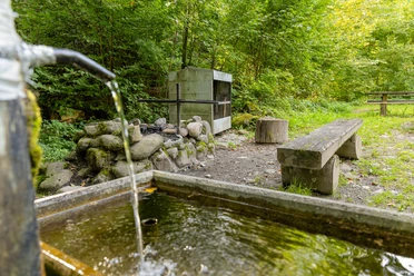
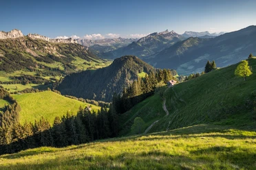
Between Wolhusen and Entlebuch, the route passes through idyllic river landscapes and floodplain areas. Sometimes on the right, sometimes on the left, you walk along the natural course of the Kleine Emme. This stage of the Emmenuferweg is also popular with families. The path is mostly flat and invites you in several places to swim, play, explore, and barbecue. Thanks to numerous public transport stops in close proximity to the trail, the route can be shortened at will. For children, the many bathing and playgrounds along the riverbank offer an exciting experience.
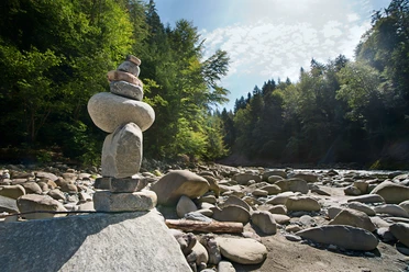
From Schüpfheim station, you head towards the roller sports park directly to the Emme riverbank. Walking along meadows, you repeatedly change sides of the river, cross old covered wooden bridges, encounter cozy bays and gravel banks. Deciduous forests and sunny riverside sections alternate until shortly after you reach the playground in Feldgüetli. The playground with football, volleyball fields, and play towers is located directly on the bank of the Kleine Emme, where nice bathing spots invite you to cool off.
In Entlebuch, you pass the impressive building of the former Ackermann mail-order company, the first mail-order company in Switzerland. With a circulation of over 1 million catalogs, Ackermann was present in every second Swiss household up to the turn of the millennium. In 2007, Ackermann had to cease its core business.
Back on the Emme riverbank follows one of the most beautiful natural sections of the entire route. A special highlight is the Emmenmätteli area. With natural ponds, species-rich dry meadows, and lizard habitats, the originally flood-damaged area has turned into a nature paradise. At Mäderslehn, you slowly but surely approach the village center of Wolhusen. The last kilometer along the main road can be traveled by bus.
Waypoints
Good to know
Pavements
Best to visit
Directions
Schüpfheim Train Station - Hasle - Entlebuch - Chappelboden Bridge - Mäderslehn - Wolhusen Train Station
The entire route is signposted with the signposts «83 Emmenuferweg».
Tour information
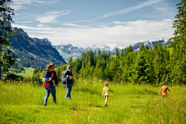
Familiy-Friendly
Nature Highlight
Equipment
Good footwear, a rain jacket & enough drinking water for the journey are essential for every hike.
More tips for safe hiking, information about mother-cow herds and guard dogs, and much more can be found on the website of Swiss Hiking Routes.
Directions & Parking facilities
You can reach Schüpfheim and Wolhusen by public transport via the Bern-Lucerne railway line.
Plan your trip with the SBB online timetable.
Additional information
UNESCO Entlebuch Biosphere
c/o Biosphere Center
Chlosterbüel 28
CH-6170 Schüpfheim
Phone +41 (0)41 485 42 50
www.biosphaere.ch
Author
UNESCO Biosphäre Entlebuch
Organization
UNESCO Biosphäre Entlebuch
License (master data)
UNESCO Biosphäre Entlebuch

Author´s Tip / Recommendation of the author
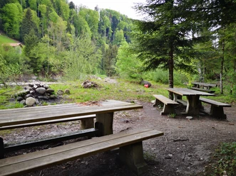
Don't forget the Cervelat; on this hike, you will find some very nice fire pits to relax at.
Nearby


